Dubai Municipality To Showcase Digital Initiatives At GITEX
Umer Jamshaid Published October 17, 2021 | 01:00 AM
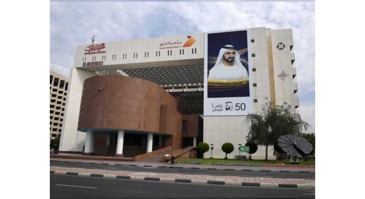
DUBAI, (UrduPoint / Pakistan Point News / WAM - 17th Oct, 2021) Dubai Municipality is preparing to participate in the GITEX Technology Week, which will be organised from 17 to 21 October 2021 at the Dubai World Trade Center with a variety of the most prominent new projects and services provided by the Municipality in various sectors. The new initiatives reflect the standards of inclusiveness, innovation and development the Municipality follows while seeking to meet people's needs and enhance their happiness and well-being.
Dawoud Al Hajri, Director General of Dubai Municipality, said: "At the Municipality, we take the vision of the wise leadership as an approach for us towards innovation and excellence and always provide the best for all segments of society. We are keen to harness technical development to enrich the emirate with exceptional projects and innovative services, which enhance the principles of global competitiveness and achieve proactive steps in various sectors and fields."
"Dubai Municipality platform at GITEX this year is witnessing the presentation of a wide range of new projects and services that are characterized by the application of the highest standards of modern technologies such as Artificial Intelligence (AI). The Municipality is one of the leading authorities in the digital field and is constantly keen to achieve a distinguished qualitative leap in this field, in order to achieve its goals of providing the best projects and services that meet the needs of all members of society in various sectors and fields," he said.
Internet of Things (IoT) technology is used by Dubai Municipality to contribute to raising the efficiency of operations, reducing costs, enhancing innovation, and making more effective decisions based on data analysis. An IoT platform was developed and a control and command center designed to monitor the technical infrastructure according to the business requirements of Dubai Municipality, and three pilot use cases were successfully implemented. To measure the actual impact of IoT technology, the cases included: smart monitoring of grease traps (Fog Trap) in restaurants to accurately measure the levels of fats, oils and greases and send the required data to the control center for a timely alert.
It was also used to the pre-detection of sewage pipeline cracks, through monitoring and analyzing pressure to determine the possibilities of pipeline breakage. One of the use cases is also to raise the efficiency of the irrigation network using the IoT and AI, by predicting the level of water demand, prioritizing the connection, and controlling the pump and valves. The application of this technology contributes to equipment maintenance planning, measurement of water level, and proactive planning of water tanks.
It is considered one of the latest generations of environmental satellite systems, and aims to monitor, collect and analyze environmental data using space technology and employ it in finding solutions to the challenges of urban pollution and climate change.
Automated audit of building designs using Building Information Modeling (BIM).
An electronic system developed by Dubai Municipality allows consultants to perform an automated audit of building designs according to the requirements of the Dubai Building Code and Municipality regulations.
The system services are available around the clock, which helps customers to complete the processing of their designs according to the requirements before sending them to the Municipality, which contributes to reducing time and effort and enhances customer satisfaction and positively affects the global competitiveness indicators in this field.
It is a modern and advanced system that was applied through a station to monitor odors in the treatment plants, and it is a fully automatic system that analyzes and monitors sulfur compounds.
Main pumping station for Stormwater Deep Tunnel Project: It is a strategic project that aims to collect stormwater and surface water from a total area of 500 square kilometers, including several different areas in the emirate. It is considered one of the largest stations in the world.
The new version of the "Montaji" platform has achieved great successes in the field of consumer goods control. The platform enhances the efficiency of services provided by Dubai Municipality in this field. It has been updated with the latest innovative features and specialties such as the Technical Solutions that contribute to improving the customer journey from the category of consumer products merchants, supporting the business sector and global trade in the emirate, saving time, effort and cost for customers, in addition to displaying electronic linking mechanisms with the Dubai Central Laboratory system, and electronic linking with strategic partners with the aim of enhancing the flow of shipments of consumer products and cross-border trade, through a single window for import of Dubai Trade, in addition to the development of the risk engine system for products and its technical mechanisms on the platform, with the aim of automating decisions regarding samples from shipments and analyzing big data through smart technologies.
Dubai Municipality has designed a unified model for the comprehensive map of the Emirate of Dubai to issue a comprehensive schematic and geographic site map, common to the various development authorities in the Emirate, in order to create a central geographical database for all lands, including owner data, planning and topographical data of the land and data for infrastructure services, with the aim of facilitating procedures and saving time and effort that are required by customers, enhance centralization of service provision, and standardize land numbering according to the system used in Dubai Municipality among all participating parties, and owners, consultants, contractors, investors and developers benefit from it.
Electronic system for maps and geospatial information, "Dubai is here".
A system developed by the GIS Center in Dubai Municipality as a comprehensive portal for displaying, analyzing and counting geospatial data, in an easy manner, smooth classification and an easy-to-use search engine to access data. The electronic system for maps and geospatial information includes 2D and 3D maps of the emirate, containing plots of land, asset information, landmarks and facilities, as well as master plans, such as details of buildings, landmarks, and housing units.
Recent Stories

Punjab CM inaugurates Pakistan’s first Virtual Women Police Station
6 hours ago

Dutch model Donny Roelvink embraces Islam
6 hours ago

Experts raise concerns over introduction of 10-stick packs
10 hours ago

Iranian president arrives in Karachi
11 hours ago

Law Minister expresses Govt's resolve to address issue of missing persons
11 hours ago

Rizwan’s batting order may be changed: Sources
13 hours ago

Nawaz Sharif to visit Guangzhou exhibition in China
14 hours ago

FM Dar not traveling to China: Foreign Office
15 hours ago

PM takes notice of deliberate delay in tax cases
16 hours ago

Iranian President visits Allama Iqbal’s mausoleum
16 hours ago

Iranian President arrives in Lahore today
17 hours ago

Currency Rate In Pakistan - Dollar, Euro, Pound, Riyal Rates On 23 April 2024
19 hours ago
More Stories From Middle East
-

UAE announces ‘Zero Bureaucracy Program’ to reduce bureaucracy
3 months ago -
COP28 President-Designate welcomes Transitional Committee agreement to operationalise Loss and Damag ..
6 months ago -
Global Media Congress 2023 to feature Co-Production Majlis as a new networking platform
6 months ago -
Young female athletes shine at Abu Dhabi World Youth Jiu-Jitsu Championship
6 months ago -
King of Jordan receives Abdullah bin Zayed and ministers participating in Arab coordination meeting
6 months ago -
Abdullah bin Zayed participates in coordination meeting of Arab foreign ministers, joint meeting wit ..
6 months ago


-
3rd annual conference of Emirates Society of Clinical Microbiology kicks off in Dubai
6 months ago -
SIBF 2023 hosts Nobel laureate to discuss emergence of ‘Afrofuturism’ in global discourse
6 months ago -
ALC announces winners of Kanz Al Jeel Award 2023
6 months ago -
SIBF turns spotlight on remarkable contributions of women
6 months ago -
Global assets in spot bitcoin ETFs hit $4.16 billion
6 months ago -
Rescuers struggle to find Nepal quake survivors as deaths reach 157
6 months ago


